
The #Trak Part 1 – Mundaring to Albany
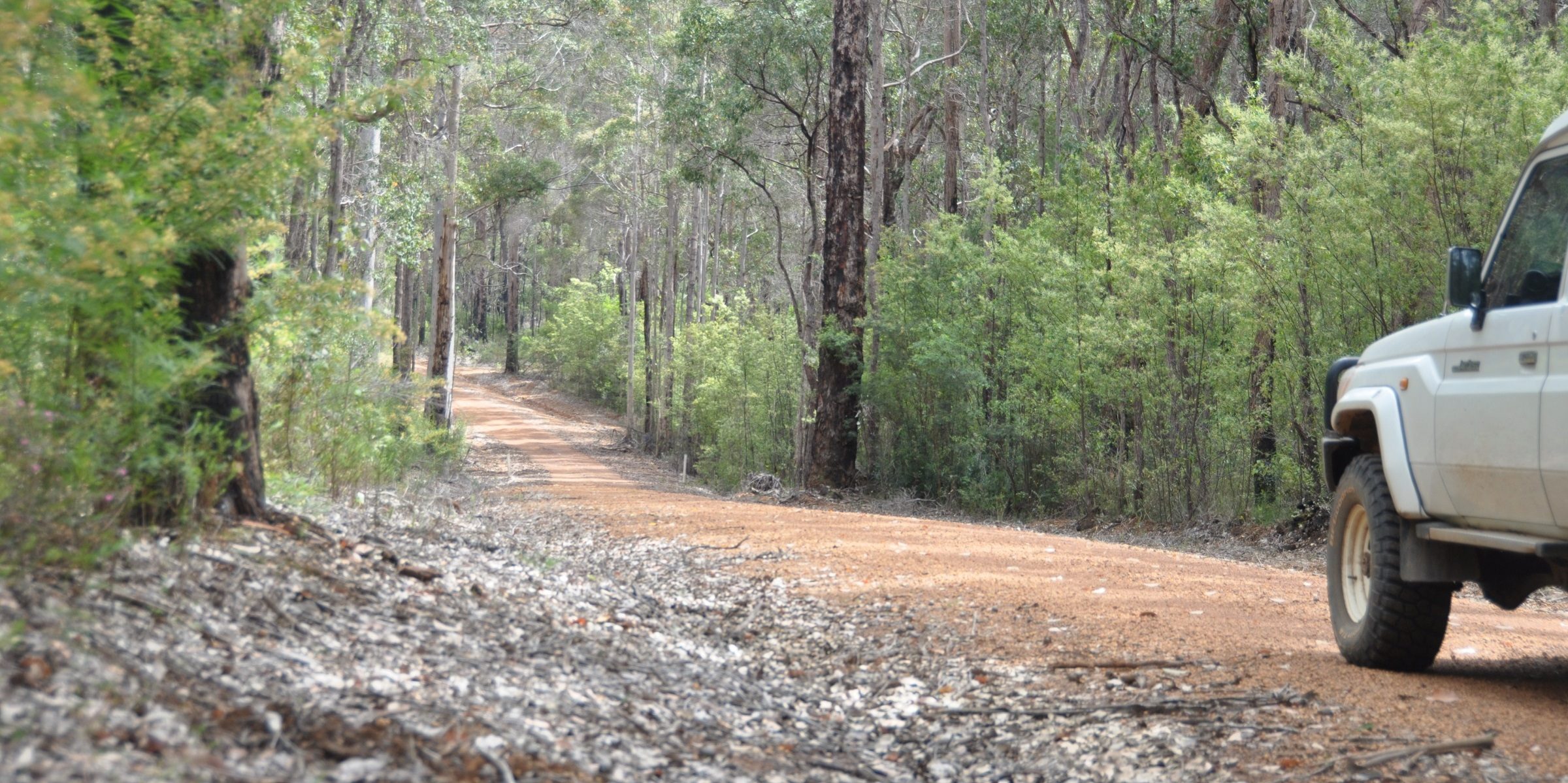
This #MundAl Trak commences in Mundaring, and runs for approx. 900kms to end in Albany. Most of the route covered is on public roads/tracks and as such all current traffic rules apply at all times…only licenced vehicles are to be used on the track.
A lot of the route passes through farming and logging areas and you will encounter trucking operations (and they’re very big trucks that take up a lot of the road and can cause lots and lots of dust). There is also high usage of the track (and surrounding areas) between Mundaring and Collie by other recreation users…this includes vehicles, motor bikes, quads, bicycles and pedestrians.
Parts of the Trak will be the subject of closure due to weather, fire or other events and will need to be monitored by anyone immediately prior to and during any use of the Trak.
When entering any national park or state forest you must abide by any travel restrictions particularly if near a DRA or Prescribed Burning Operations are imminent. You need to be aware of Water Corp restrictions in any area you may be travelling through.
Fire restrictions are in place at various times along the full length of the Trak and must be adhered to at all times.
You will not be able to access a mobile phone network on some sections of the Trak.
You should download the latest waypoints and information immediately prior to departing…the track will be continuously updated as changes are made known to the Association.
To download the waypoints, please go back to the Trak page.
Hi,
Is the whole “4000klmTrack” accessible with a off road caravan?
Hi Leigh yes the track is accessible by caravan though I wound recommend checking your wheel-base as some corners might be tight. Most of the track is feasible with a soft-roader in Summer only however, you should be fine.
Glad I found this site. Looking forward to figure out loading the track.
Looking at doing the 1st Leg, What are the fuel options along the track, are there break off points to towns to refuel or best to carry extra fuel.
Where best to find the camping options along the way?
Hi Nath,
Glad you’re keen 🙂 there are multiple refueling options along the way, especially the Southern parts, as these would more often than not go through towns, or near enough.
As for camping, I would use your regular WikiCamps, HipCamp, etc apps 🙂 though almost every town has a caravan park or designated camping area.
Have fun !
How do your download the files?
Hi James, go to the https://wa4wda.com.au/services/ page where there is a link to each section 🙂
I would love to hear from anyone who has done the Albany to Mundaring track. How did you find following the waypoints? I have just downloaded the file & 12 different documents/files all seems really complicated. Even the google earth link seems tricky to follow. Why has there not been a detailed map made of this track instead of just GPS waypoints?
Is theee any places to swim?
Hi Chloe, the track does go through or nearby a few towns with dams and lakes where you can certainly swim, though there’s no specific waypoint next to a particular waterhole. I suggest you download the waypoints and see where the track leads you, to find your favourite swimming point 🙂
Thank you. Do we need to book anything? Keen to come through over Xmas/new year
Nothing that you’d need to book via the association, Chloe, we don’t manage any of the facilities but merely provide the route and waypoints. Any accommodation that needs booking would need to be done separately and directly with the relevant providers.
Any chance the GPS points could be exported as a CSV to help those of us trying to make our own maps of the trak?
Hi Fred, unfortunately we do not offer this method at this stage.
This is what worked for us (using an iPhone):
1) Download the GPX files (https://wa4wda.com.au/services/).
2) Open Safari (or Chrome) on your iPhone and go to mymaps.google.com. (Make sure it is mymaps.google.com & not maps.google.com… You may need to request the “Desktop Site” in your browser settings). Maps (scroll down) to find your imported route.
7) I then googled “How To save a satellite map for offline use in Google Maps on iPhone”. Also did the same with Apple Maps for backup.
A reminder (as this website states) “Most of the route covered is on public roads/tracks”. Hope this helps. Happy Travels & Thank you to the team who created the MundAl Track.